Coto del Rio Guadiza, La Zagaleta - Benahavis

WhatsApp Image 2020-03-07 at 13.08.05.jpeg

Categoría: Caminata por el campo
Lugar de encuentro: Cerca de la entrada norte a La Zagaleta, A397 Ronda Road
Distancia: 11.5 km
Clasificación: Fácil

Itinerario:
Este es un paseo de ida y vuelta sobre el río Guadaiza. El sendero pacífico serpentea a través de bosques de pinos y afloramientos rocosos y ofrece magníficas vistas de los campos vírgenes circundantes y hacia el mar. No es raro encontrar cabras, ovejas y ocasionalmente cerdos. Por lo tanto, los perros pueden necesitar ser llevados rápidamente al talón. No hay grandes obstáculos para el progreso y la caminata se clasifica como fácil a mediana, aunque hay un ascenso moderado al principio. A mitad de camino habrá la parada habitual antes de regresar. El refresco posterior se puede tomar en Los Almendros Venta a la derecha después del campo de golf Los Arqueros o en el 'All-in-one' en Los Halcones 200 metros más a la izquierda.

Cómo llegar al lugar de la reunión
Siga el A340 principal desde Marbella hacia Cádiz. Después de Puerto Banús y justo antes del túnel a través de San Pedro, tome la vía de acceso a la A397 hacia Ronda. Continúa hacia Ronda pasando el campo de golf Los Arqueros a la izquierda, la entrada sur a La Zagaleta, el restaurante El Coto y la entrada norte El Madronal a la derecha. Unos kilómetros más adelante a la izquierda, se puede ver la entrada norte a La Zagaleta. Inmediatamente antes, a la derecha, hay un espacio abierto para estacionar y al principio de la caminata (36 ° 32 '39' 'N; 5 ° 01' 21 '' W).

Esto es parte del sendero Puerto del Alisal - Daidin en Benahavis
La ruta completa es 22Km y toma alrededor de 6 1/2 Hrs ida y vuelta (lineal)


Coto del Rio Guadiza, La Zagaleta - Benahavis

WhatsApp Image 2020-03-07 at 13.08.05.jpeg

Category: Country Walk
Meeting Place: Near North Entrance to La Zagaleta, A397 Ronda Road
Distance: 11.5 km
Grading: Easy

Itinerary:
This is an round trip above the Guadaiza river. The peaceful trail meanders through pine woods and rocky outcrops and offers magnificent views of the surrounding unspoilt countryside and towards the sea. It is not uncommon to encounter goats, sheep and occasionally pigs. Dogs may therefore need to be quickly called back. There are no major obstacles to progress and the walk is rated easy to medium, although there is a moderate ascent at the beginning. Halfway there will be the usual stop before returning. Subsequent refreshment can be taken at Los Almendros Venta on the right after los Arqueros golf course or at the 'All-in-one' at Los Halcones 200 metres further on the left.

Directions to the Meeting Place
Follow the main A340 from Marbella towards Cadiz. After Puerto Banus and just before the tunnel through San Pedro take the slip road for the A397 to Ronda. Continue towards Ronda passing Los Arqueros golf course on the left, the south entrance to La Zagaleta, El Coto restaurant and El Madronal north entrance on the right. A few kilometres further on the left, the North entrance to La Zagaleta can be seen. Immediately before it on the right, is an open space for parking and the beginning of the walk (36° 32’ 39’’ N; 5° 01’ 21’’ W).

This is part of the sendero Puerto del Alisal - Daidin in Benahavis
The complete route is 22Km and takes about 6 1/2 Hrs there and back (linear)


Alcazaba y Castillo de Gibralfaro, Málaga

Gibralfaro principal.jpg

La fortaleza de Gibralfaro domina toda la ciudad, encontrándose enclavada en la cresta de un alargado monte situado a 132 m. sobre el nivel del mar, cuyas escarpadas laderas descienden hacia el mar y hacia la ciudad. Desde tiempo inmemorial esta fortaleza fue la gran atalaya no solo para observar la población asentada al pie de su falda occidental, sino los accesos a ella por tierra y mar.

El castillo de Gibralfaro fue construido en el siglo XIV para albergar las tropas y proteger la Alcazaba, convirtiéndose en la fortaleza más inexpugnable de todo Al-Ándalus. Recibe su nombre del toponímico (Yabal, en árabe, monte y Faruh, ayamí del griego Faros, faro) apareciendo mencionado en las fuentes, con relación a la existencia de una rábita de carácter religioso en el siglo XII, con la vivienda de un santón, aunque sin poder afirmar que hubiese algún tipo de fortificación en el siglo XIII. Con anterioridad, fue utilizado por fenicios y romanos (encontrándose restos de cerámica y estructuras arquitectónicas desde época feno-púnica). 

En 1977 se acometió la tarea de terminar de demoler las edificaciones militares y acondicionar sus jardines para mejorar la visita turística. A partir de 1986 el Ayuntamiento acordó solicitar a la Junta de Andalucía su restauración, que se llevó a cabo en tres fases entre los años 1989 y 1999, y que comprendió la restauración de muros y torres, caminos interiores, dotación de aseos, zona de aparcamientos, etc.

La Alcazaba, cuyo nombre al-Qasba viene a significar fortaleza urbana está situada en la ladera del monte Gibralfaro, en la pequeña bahía en la que se sitúa la ciudad de Málaga. Su posición estratégica hace que haya sido habitada por antiguas civilizaciones como los fenicios, que se establecieron en el monte hacia 600 a.c. Los romanos que se ubicaron en sus alrededores, en la ladera sur, donde aparecieron restos de una villa romana y también instalaciones industriales para la salazón de pescado y en la ladera oeste del monte de Gibralfaro, donde construyeron un teatro en el s. I. Durante la época islámica la Alcazaba fue construida inicialmente como fortificación para después convertirse en palacio-fortaleza, sede del gobierno de la ciudad

LOCALIZACIÓN


HORARIO DE VISITAS

Verano: 09:00 h - 20:00 h
Invierno: 09:00 h - 18:00 h

TARIFAS

Tarifa Normal (para uno de los dos monumentos)                 3,50 €

Tarifa normal conjunta (para ambos monumentos)               5,50 €

Tarifa para grupos (para uno de los monumentos)                2,50 €

Tarifa para grupos conjunta (para ambos monumentos)  4,00 €

Tarifa reducida (para uno de los dos monumentos)               1,50€

Tarifa reducida conjunta (para los dos monumentos)           2,50 €


The Alcazaba and Gibralfaro castle, Málaga

Gibralfaro principal.jpg

The Gibralfaro fortress dominates the whole city, and is situated on the crest of a long rise located 132 m above sea level, whose steep slopes descend toward the sea and toward the city. From time immemorial this fortress was the great watchtower used not only to observe the population settled at its feet to the west, but also the access to it by land and sea.

Gibralfaro Castle was built in the 14th century to house troops and protect the Alcazaba, making it the most impregnable fortress of all al-Andalus. It receives its name from toponymic references (Yabal, in Arabic, meaning hilltop and Faruh, a word in Ayamí that comes from the Greek faros, or lighthouse), and is mentioned in the sources in relation to the existence of a religious ribat in the 12th century, that was home to a holy man, although it is not possible to say whether some type of fortification existed in the 13th century. Previously, it had been used by the Phoenicians and Romans (remains of ceramics and architectural structures have been found from the Phoenician-Punic period).  

In 1977 the task of completing demolition of the military buildings was undertaken, together with work on the gardens to improve tourism. From 1986 onwards, the City Council agreed to ask the Andalusian Regional Government to restore it. This project was carried out in three phases between 1989 and 1999, and included the restoration of walls and towers, interior paths, provision of toilets, parking areas, etc.

The Alcazaba (which comes from al-Qasba, meaning urban fortress) is located on the hillside of Mount Gibralfaro, in the small bay that is home to the city of Malaga. Its strategic position led it to be inhabited by ancient civilisations such as the Phoenicians, who settled on the hilltop around 600 B.C., and the Romans, who also settled in the area: on the southern slope, where remains have been found of a Roman villa and of industrial facilities for salting fish, and on the western slope of Mount Gibralfaro, where they built a theatre in the 1st century. During the Islamic period, the Alcazaba was initially built as a fortification, and later became a palace-fortress, and the seat of the city government.

LOCATION


OPENING HOURS

Summer: 09:00AM - 08:00PM
Winter: 09:00AM - 06:00PM

ENTRANCE FEES

Normal rate (for one of the two monuments) 3,50 €

Normal combined rate (for both monuments) 5,50 €

Group rate (for one of the two monuments) 2,50 €

Group combined rate (for both monuments) 4,00 €

Reduced rate (for one of the two monuments) 1,50€

Reduced combined rate (for both monuments) 2,50 €

School group rate (for one of the two monuments) 2,00 €

School group combined rate (for both monuments) 3,50 €


Castillo Colomares Monument, Benalmádena

Castillo Colomares.jpg

This is a monument castle that, through its architecture, tells the story of the discovery of a new world, badly named AMERICA. It was Christopher Columbus, who with his great faith, presented to the Catholic Monarchs his plan to travel west to reach the Indies. That was his dream.

Columbus was a great navigator, educated in geography, astronomy, the Holy Scriptures, mathematics, humanities, etc. He wrote in classical Latin and in beautiful Spanish. He never wrote in Italian or Portuguese. Seven years before the discovery, Columbus presented his plan to other states, but only the Catholic Monarchs accepted it.

He needed marine experts for his ventures and managed to find them in Palos de la Frontera, province of Huelva. It was Martín Alonso Pinzón who managed to get these true “sea lions” to accompany the Admiral. We have placed the head of a bronze horse as a symbol of that great sailor from Huelva as a Pegasus or mythical horse.

It was the crown of Castile and Queen Isabel who helped him and believed in him, represented in the monument by their shields in bronze to show gratitude and perpetual recognition to them.

The 96 crew members, almost all of them Andalusians, left Palos on August 3, 1492, and after a few days of provisioning and repair of their ships in the Canary Islands they left for the unknown and arrived at an islet 33 days later. It was the day of Pilar on October 12, 1492. The Island was baptized with the name of SAN SALVADOR, and the natives called it "Isla de las Iguanas". In the Castle there is a small oratory with the image of our Lord Savior, accompanied by a small bell in memory of the Island.

The three ships that Columbus deployed for the crossing, the Niña, the Pinta and the Santa Maria are also represented in this monument. La Niña at the top of the building, under the arch of La Rabida, the Monastery that sheltered Columbus when he arrived from Portugal. La Pinta, on the main facade, which was the Pinzones brothers´ship, with the horse Pegasus supporting it. Santa María, isolated from the other two, because this ship suffered an accident and sank on Christmas Day, in Santo Domingo. The crew of around 39 sailors stayed on the Island and did not return to Spain, since they were killed by the natives.

Columbus died after making four trips and at the Colomares Monument Castle we have created a mausoleum with a beautiful Gothic rosette. This is his fifth trip, to Eternity, but no one knows for sure where his remains are or where he was born.

It was Spain, and Andalusia in particular, who played a major part in this discovery that undoubtedly changed the world, for good according to some and for bad according to others. Fact is that Columbus made this discovery and here we have the stones of the Colomares Monument Castle to tell his story.

LOCATION


OPENING TIMES

Autumn & winter: Wednesday to Sunday - 10AM to 6PM
Spring: Wednesday to Sunday - 10AM to 7PM
Summer: Wednesday to Sunday - 10AM to 2PM and 5PM to 9PM


PRICES

Adults: €2,50 Children & pensioners: €2,00

CONTACT

Email: colomares@hotmail.com
Tel.: 952 44 88 21
Mobile: 678 03 40 11
Website: http://www.castillomonumentocolomares.com/index.html

El Castillo Monumento Colomares, Benalmádena

Castillo Colomares.jpg

Este es un Castillo monumento que narra con su piedra la gesta del descubrimiento de un nuevo mundo, mal llamado AMÉRICA. Fue COLON, quién con su gran Fe, presentó a los Reyes Católicos su plan de viajar hacia poniente para alcanzar las Indias. Ese era su sueño.

COLON era un gran navegante, ilustrado en geografía, astronomía, Sagradas Escrituras, matemáticas, humanidades, etc. Escribió en latín clásico y en un hermoso castellano. Jamás escribió en italiano o portugués. Siete años antes del descubrimiento, COLON, presentó su plan a otros Estados y sólo los Reyes Católicos lo aceptaron.

Necesitó expertos marinos para sus empresas y los logró encontrar en Palos de la Frontera, provincia de Huelva. Fue Martín Alonso Pinzón quién logró que aquellos verdaderos “lobos marinos” acompañasen al Almirante. Hemos colocado la cabeza de un caballo en bronce como símbolo de aquel gran marino onubense a manera de Pegaso o caballo mítico.

Fue la corona de Castilla y su Reina Isabel quién le ayudó y creyó en el, y ahí están sus escudos también en bronce en agradecimiento y reconocimiento perpetuo.

Salieron de Palos el día 3 de agosto de 1492, eran 96 tripulantes, casi todos andaluces, y después de unos días de avituallamiento y reparación de sus naves en las islas Canarias partieron rumbo a lo desconocido y llegaron a un islote 33 días después. Era el día del Pilar un 12 de octubre de 1492. La Isla fue bautizada con el nombre de SAN SALVADOR, y los nativos la llamaban “Isla de las Iguanas”. En el Castillo existe un pequeño oratorio con la imagen de nuestro Señor Salvador y le acompaña una campanita marinera en recuerdo de la Isla.

Quedan representadas las tres naves que COLON utilizó en su travesía, la Niña, la Pinta y la Santa María en éste Castillo Monumento. La Niña en lo más alto de la construcción, bajo el arco de la Rábida, el Monasterio que dio cobijo a COLON cuando llegó desde Portugal. La Pinta, en la fachada principal, siendo esta la nave de los hermanos Pinzones, con el caballo Pegaso, que la sostiene. La Santa María, aislada de las otras dos, pues esta nave sufrió un accidente y se hundió el día de Navidad, en Santo Domingo. Los tripulantes, que eran del orden de 39 marineros, se quedaron en la Isla y no regresaron a España, ya que fallecieron a manos de los indígenas.

COLON murió después de hacer cuatro viajes y en el Castillo Monumento Colomares hemos representado un mausoleo con un hermoso rosetón gótico. Es su quinto viaje a la Eternidad, y sus restos reposan nadie sabe dónde como tampoco nadie sabe dónde nació a ciencia cierta.

Fue España y en particular Andalucía quién protagonizó aquel descubrimiento que indudablemente cambió el mundo, para bien según algunos y para mal según otros. Pero aquello ocurrió y aquí nos lo cuentan y testimonian las piedras del Castillo Monumento Colomares.

LOCALIZACIÓN


HORARIO

Otoño e invierno: Miércoles a domingo - 10:00 - 18:00
Primavera: Miércoles a domingo - 10:00 - 19:00
Verano: Miércoles a domingo - 10:00 - 14:00 y 17:00 - 21:00


TARIFAS

Adultos: €2,50 Niños y pensionistas: €2,00

CONTACTO

Email: colomares@hotmail.com
Teléfono: 952 44 88 21
Móvil: 678 03 40 11
Página web: http://www.castillomonumentocolomares.com/index.html

Málaga´s Coastal Paths

Senda litoral de Mijas.jpeg

One of the best ways to explore Málaga´s coast, with its beautiful beaches, beacon towers, picturesque fishing and leisure ports and nature, is via its coastal path, the Senda Litoral.
The project´s aim is to create a coastal path all the way from Manilva to Nerja.
Although the project is still in progress, it already covers a large part of the coast.

Take a walk along the promenades and enjoy spectacular views, the mediterranean climate and a variety of landscapes. Málaga boasts around 150 kilometres of beaches, beacon towers - that date back to the reign of Yusuf I (14th century), peaceful dunes, fishing and leisure ports and of course its gastronomy - known for fresh fish and seafood.

Another highlight is the biodiversity of the area. Due to its biogeograpical location, you can find over 100 different species of marine and aquatic birds, more than 30 varieties of coastal plants, over 200 species of fish and much more on these shores.

In summary, the coastal path is perfect for relaxing walks, sports, dining and discovering nature.

For more information, visit http://www.sendalitoral.es/es/6199/

LOCATION


La Senda Litoral de Málaga

Senda litoral de Mijas.jpeg

La mejor manera de descubrir la costa de Málaga, es visitar sus playas bonitas, torres almenaras, puertos pintorescos y su naturaleza variada por la Senda Litoral.
La ruta es un proyecto que posibilitará el tránsito a pie o por bici desde Manilva a Nerja a través de toda la costa.
Aunque todavía no está terminada, ya abarca una gran parte del litoral.

Caminando por los paseos marítimos se puede disfrutar de las vistas espectaculares, del clima mediterráneo y de los paisajes diferentes. Málaga ofrece unos 150 kilómetros de playas, las torres almenaras - que tienen sus orígenes en el reinado de Yusuf Primero (siglo XIV), dunas tranquilas, puertos pesqueros, puertos deportivos y por supuesto la gastronomía, conocida por el pescado y los mariscos.

Otra atracción es la biodiversidad de la zona. Debido a su estratégico enclave biogeográfico, aquí se pueden observar más de 100 especies diferentes de aves marinas o acuáticas, más de 30 plantas litorales, más de 200 especies de peces y mucho más.

En resumen, la senda litoral está perfecta para paseos relajantes, deporte, comer y descubrir la naturaleza.

Para más información, visita http://www.sendalitoral.es/es/6199/

LOCALIZACIÓN


Cuevas de Nerja

Cueva Nerja.jpg

La Cueva de Nerja, situada a 158 metros sobre el nivel del mar es, con 4.823 metros, una de las cuevas de mayor desarrollo topográfico de Andalucía. Tiene tres bocas de entrada, dos torcas subcirculares y, próxima a ellas, una entrada habilitada un año después del descubrimiento, en 1960, para el acceso de las visitas. La cavidad tiene un desarrollo prácticamente horizontal, con unos 750 metros de longitud medidos a lo largo de su eje mayor y un desnivel de unos 68 metros, 37 metros por encima del nivel de referencia, situado en el suelo de la entrada, y 31 metros por debajo del mismo. Las Galerías Turísticas, con un volumen de 106.286 m3 y una superficie de 9.371 m2, corresponden, aproximadamente, a un tercio del total de la cueva.

* Se recomienda la compra anticipada en la web. Pulse aqui para comprar

LOCALIZACION


The Nerja Caves

Cueva Nerja.jpg

The Caves of Nerja (Spanish: Cueva de Nerja) are a series of caverns close to the town of Nerja in the Province of Málaga, Spain. Stretching for almost 5 kilometres (3.1 mi), the caverns are one of Spain's major tourist attractions. Concerts are regularly held in one of the chambers, which forms a natural amphitheatre.

The caves were re-discovered in modern times on 12 January 1959 by five friends, who entered through a narrow sinkhole known as "La Mina". This forms one of the two natural entrances to the cave system. A third entrance was created in 1960 to allow easy access for tourists. The cave is divided into two main parts known as Nerja I and Nerja II. Nerja I includes the Show Galleries which are open to the public, with relatively easy access via a flight of stairs and concreted pathways to allow tourists to move about in the cavern without difficulty. Nerja II, which is not open to the public, comprises the Upper Gallery discovered in 1960 and the New Gallery discovered in 1969.

* We recommend the advance purchase on the web. Please, click here to buy the tickets.

LOCATION


Frigiliana

frigiliana.jpg

Frigiliana es sin duda uno de los pueblos blancos de Málaga con más encanto. Galardonado con el I Premio Nacional de Embellecimiento en 1982 su casco histórico es Conjunto Histórico Artístico desde el año 2014
Las paredes encaladas, sus calles estrechas y sinuosas, en un sinfín de escaleras que recorren todo el Barribarto, son la herencia morisca que el paso del tiempo ha dejado en el casco antiguo de Frigiliana, uno de los mejores conservados de la provincia.
Frigiliana está situado en la zona más oriental de la comarca de la Axarquía, asomada al Mediterráno desde el Parque Natural de las Sierras de Almijara, Tejeda y Alhama.

Frigiliana cuenta con una amplia gama de servicios turísticos para satisfacer la demanda del visitante. Una variada gama de alojamientos (establecimientos hoteleros, apartamentos tcos. y casas rurales) y un buen número de restaurantes que ofrecen todo tipo de variantes de la cocina local, nacional e internacional.
El choto frito en salsa de almendras, los variados potajes de verduras frescas, mención destacada merece el potaje de bacalao en Semana Santa (manteniendo así la tradicional cuaresma), las migas…son algunos de los platos típicos de la cocina autóctona, todo ello elaborado con aceite de sus olivares y regados con los ricos caldos moscateles de sus viñedos, sin olvidar, por supuesto, las recetas elaboradas a base de la miel de caña: berenjenas fritas con miel de caña, arropía, marcochas...

Algunas tradiciones artesanas autóctonas perviven en Frigiliana, y materiales como el esparto, las calabazas de agua, la cera, el cristal, la arcilla, madera o lana se convierten en bellas obras de singulares acabados que pueden adquirirse en los comercios del Casco Histórico.

LOCALIZACION


Frigiliana

frigiliana.jpg

Situated on the slopes of the Sierra Almijara mountains, it offers some of the most spectacular views on the Costa del Sol. The layout and appearance of the historic quarter is the result of urban design from the Arab period.Its narrow, winding and often stepped streets are interconnected by covered passages occasionally flanked by doors which would close to strengthen the town's defences. A tour of the historic quarter reveals interesting glazed ceramic mosaics which tell the story of the events occurred between Moors and Christians on the Frigiliana Rock. Also prominent is the palace of the Counts of Frigiliana, from the 16th century, subsequently converted into a sugar refinery for making sugar cane honey.

See all the information on the destination at:

http://www.turismofrigiliana.es/en/


LOCATION


Un paseo por Ronda

Ronda.jpg

Si existe un pueblo turístico que muchos viajeros quieren conocer, sin duda estamos hablando de Rondasituada en la provincia de Málaga a unos 50 km desde Benahavis. 

Este es el recorrido que desde Benahavislife.com recomendamos para realizar en un día visitando esta maravillosa ciudad, esperamos que sirva de ayuda,

Se puede empezar la visita desde la Alameda del Tajo, siglo XIX, sin olvidarse de asomarse al mirador para admirar el paisaje.

Justo al lado de la Alameda se ubica la plaza de Toros, que fue inaugurada en 1785 convirtiéndose en una de las más antiguas de España, siendo declarada Bien  de Interés Cultural en 1993.

El toreo es parte fundamental de la cultura de este pueblo así que si quieres conocer más sobre ello, la figura de los hermanos Ordoñez, las goyescas o Pedro Romero, no puedes perderte la visita al museo de la propia plaza de Toros.

Desde allí, camina hacia la Plaza de España, donde vas a encontrarte con el Parador y el Puente Nuevo, monumento emblemático, a través del cual podrás adentrarte hacia la parte más antigua y monumental de Ronda.

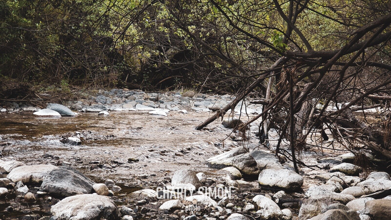
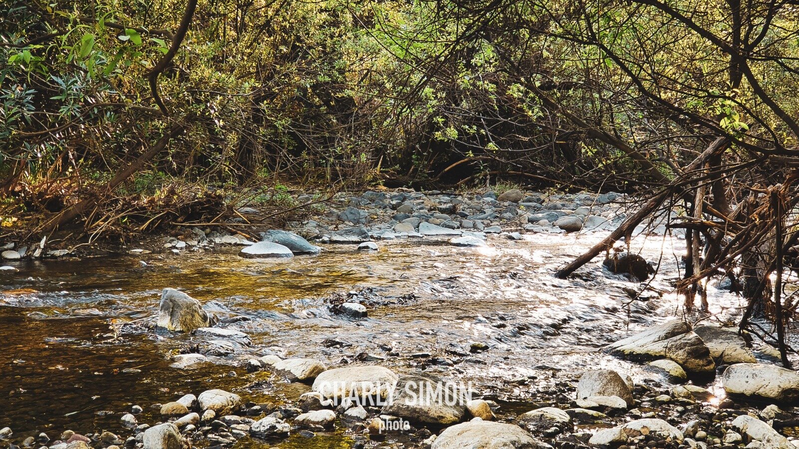
Este Puente fue construido a finales del siglo XVII sobre el rio Guadalevín y permite cruzar el desfiladero delTajo.

En el mismo Puente podrás visitar un centro de interpretación bastante interesante. Allí podrás conocer acerca de la construcción del mismo, de su entorno natural y de su importancia desde que se construyó para el desarrollo del pueblo.

Cruzando el Puente Nuevo lo mejor es callejear para encontrarte con los puntos más turísticos, como son:

Casa de Don Bosco

Se trata de un edifico modernista construido en el siglo XIX – XX que alberga en su interior un jardín con impresionantes vistas del tajo, por lo que te recomiendo su visita si quieres tomar unas buenas instantáneas del Puente Nuevo y el desfiladero del Tajo.

Palacio de Mondragón

Aunque su origen sea mudéjar se mezclan distintos estilos arquitectónicos de varias épocas históricas, y son dignos de destacar sus patios.

Se cree que este edificio ya existía en la Edad Media. Actualmente alberga el Museo de Ronda que narra mediante su colección permanente, la historia de la Comarca.

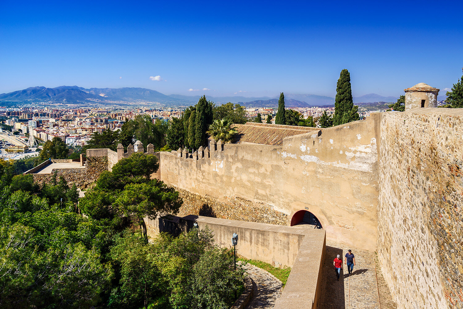
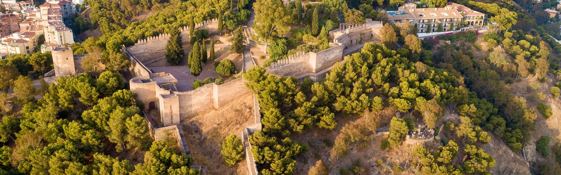
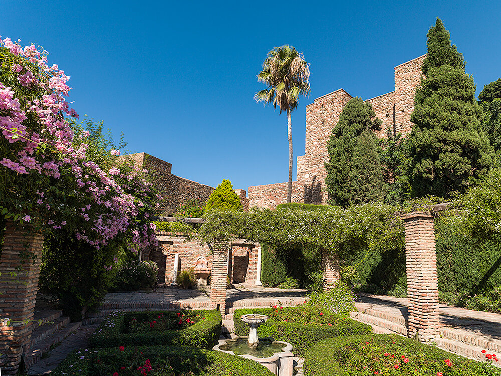
Murallas y puertas Islámicas

Hoy día aún se conservan algunos puntos de las antiguas murallas y puertas islámicas, como es el caso de la foto que verás a continuación.

Se trata de el Alminar de San Sebastián, que en su origen islámico fue parte de una Mezquita del siglo XIV.

Pero además de este Alminar, existen otros puntos interesantes de esa época, como son las Murallas de la Albacara, cuya función era proteger los molinos que existieron en la zona del Tajo, conservándose actualmente la Puerta de los Molinos o Arco del Cristo y Puerta del Viento.

También cabe destacar los restos arqueológicos del Puente Viejo Árabe del siglo XV – XVI.

Otro punto interesante son la Muralla y Puerta de Cuara, que en aquellos tiempos comunicaba el Arrabal con la Medina.

Y por último, destacar las Murallas y Puertas de Almocábar construidas en el siglo XIII fueron las puertas de acceso principal a la ciudad.
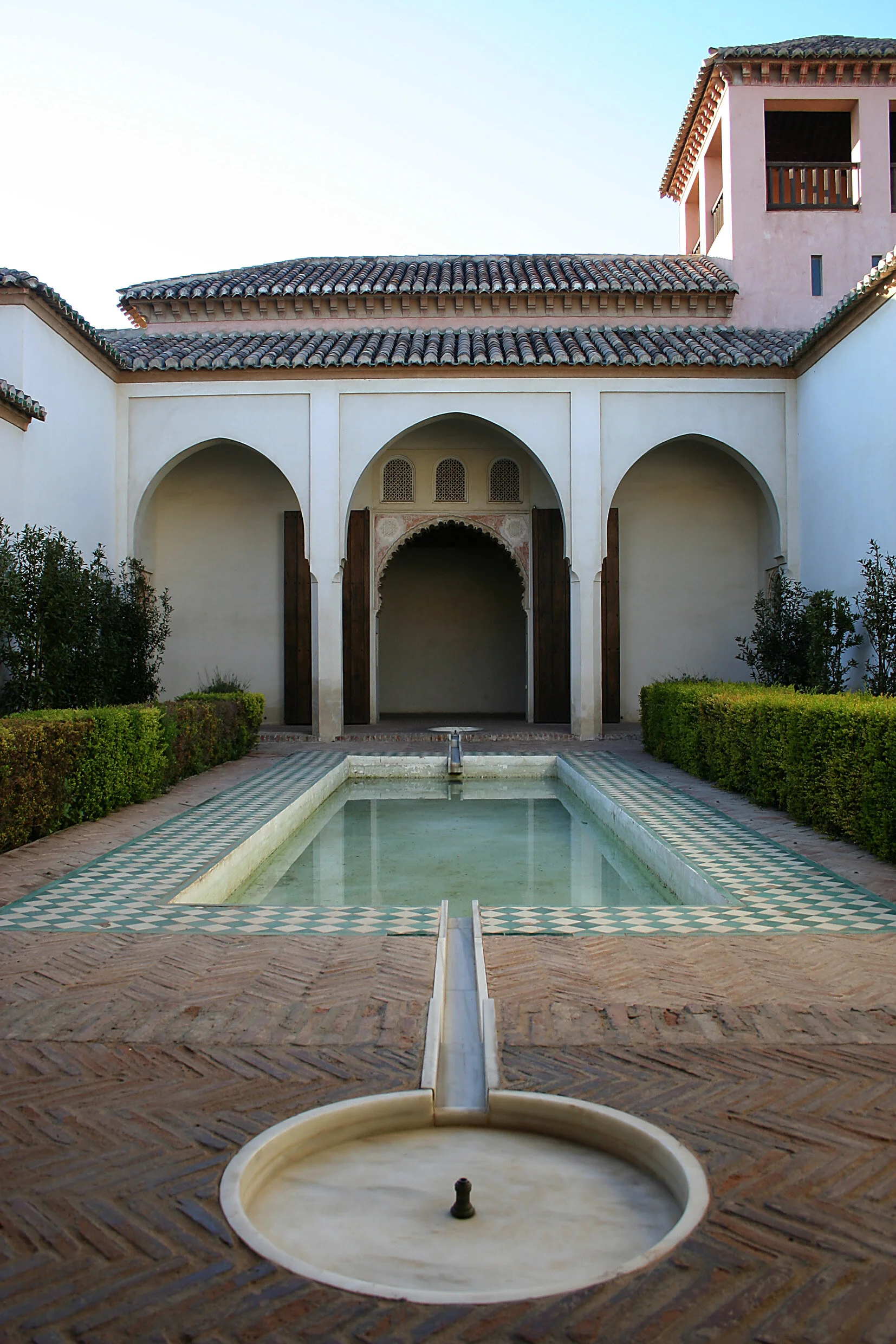
Casa del Gigante

Palacio de origen nazarí, siglo XIII – XV que conserva en su interior un precioso artesonado nazarí y una importante colección de yeserías. Este palacio fue el único de estilo nazarí construido fuera de Granada.

Ayuntamiento

Construido en 1734 tuvo función de Cuartel.

Palacio de los Marqueses de Moctezuma

Fue un importante edificio civil que guarda en su interior un artesonado mudéjar y una iglesia neo-gótica.

Actualmente es un Museo y en él se acoge la Colección Permanente de Joaquín Peinado, pintor rondeño, importante exponente de la Escuela de París.

Iglesia de Santa María la Mayor y la Iglesia del Espíritu Santo

 Construidas en el siglo XV por los Reyes Católicos tras la conquista de Ronda.

La Iglesia de Santa María la Mayor fue Mezquita Mayor y se convirtió en Iglesia por Orden de Fernando el Católico mientras que la Iglesia del Espíritu Santo fue una iglesia – fortaleza.

Convento de Santo Domingo

 Este Convento domenico, que fue mandado a construir por los Reyes Católicos en el siglo XVI, actualmente alberga el Palacio de Congresos.

Fuente de los ocho caños

Construida en el siglo XVIII por Felipe V. En la parte frontal posee los ochos caños de agua potable que eran utilizados por los rondeños durante generaciones y por la parte de detrás se ubica un abrevadero donde bebían los caballos.
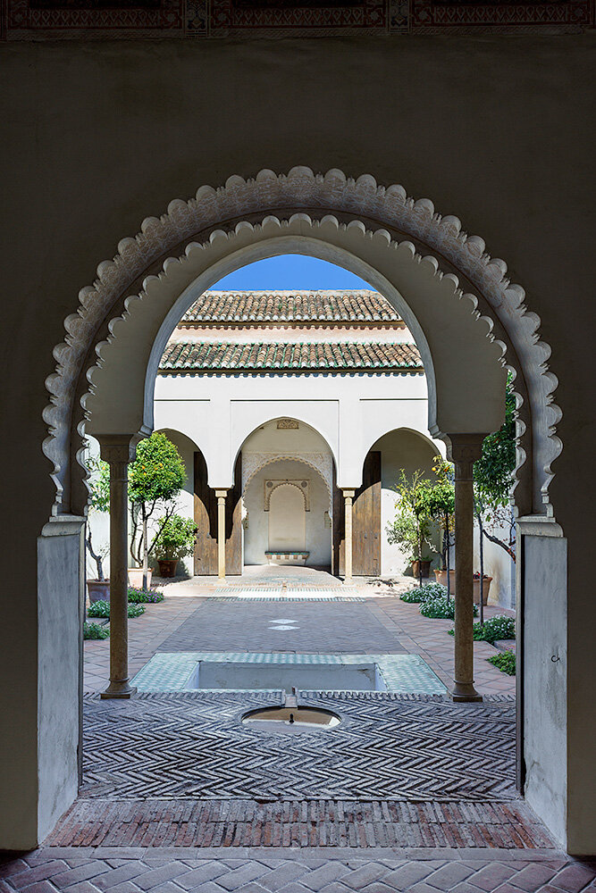
Baños Árabes

Fueron construidos en época nazarí, siglo XIII – XIV, están localizados en la zona de la antigua judería y tras la conquista cristiana fueron abandonados.

Más adelante quedarían sepultados por las crecidas del río hasta que se llevaron a cabo las excavaciones de la zona en el siglo XX, dejando al descubierto las salas de baño de agua templada, fría y cálida.

LOCALIZACION


ITINERARIO

Pincha aquí para ver el recorrido.


Caminito del Rey - El Chorro

Caminito del Rey.jpg

El Caminito del Rey is a passage built on the walls of the Gaitanes gorge, next to the village of El Chorro, which serves as a boundary between the municipalities of Ardales, Álora and Antequera.

It is a pedestrian walkway of more than 3 kilometers, attached to the rock inside a canyon, with sections of a width of just 1 meter, hanging up to 100 meters above the river, in almost vertical walls.

LOCATION


ITINERARY

El Caminito de Rey hike is spectacular all way long: from the Count of Guadalhorce Reservoir to its end at El Chorro Dam. Placed in unique natural surroundings, the path stretches between two gorges, canyons and a large valley, along pathways or boardwalks. All the texts about the path, as well as the photos and videos that follow, were created after many visits of our experts to the site, and their hard work that had lasted for several months.

The route is linear, not circular, and it goes in one direction, downwards from the north to the south. Its beginning is in the Town of Ardales and the end in Álora. This route is almost 8 km long, and takes from three to four hours to be crossed. As we consider it to be rather unique, we decided to describe all of its parts so you could understand what can be seen or felt along the route.

There are seven parts of the route:

  • Visitor Reception Area Shuttle bus stop and a car park El Kiosko Restaurant
  • Two access areas: the path and Gaitanejo way (2.7 km or 1.5 km long route, depending on your choice).
  • Visitor Reception Centre and Gaitanejo Reservoir.
  • First Canyon Gaitanejo Gorge (2.9 km from the entrance to the exit)
  • Second Canyon Las Palomas Cliff
  • Hoyo Valley
  • Third Canyon Gaitanes Gorge (Desfiladero de los Gaitanes)
  • Last Stretch Boardwalk to the exit
  • Downwards path to the El Chorro Train Station, called Avenue Caminito del Rey (2.1 km).

Book your visit here.

Caminito del Rey - El Chorro

Caminito del Rey.jpg

El caminito del Rey es un paso construido en las paredes del desfiladero de los Gaitanes, junto a la aldea de El Chorro, el cual sirve de límite entre los términos municipales de Ardales, Álora y Antequera, en la provincia de Málaga, comunidad autónoma de Andalucía, España.

Se trata de una pasarela peatonal de más de 3 kilómetros, adosada a la roca en el interior de un cañón, con tramos de una anchura de apenas 1 metro, colgando hasta 100 metros de altura sobre el río, en unas paredes casi verticales.

LOCALIZACIÓN


ITINERARIO

El recorrido de El Caminito del Rey es espectacular, desde su llegada a la zona del pantano del Conde de Guadalhorce hasta su salida por la presa del Chorro, dado que nos encontramos en un entorno natural único, que discurre entre dos desfiladeros, cañones y un gran valle, en parte por senderos y en parte por pasarelas. Las descripciones, fotografías y vídeos de todo el recorrido que mostramos a continuación han sido realizadas tras varios meses de intenso trabajo y de múltiples visitas de numerosos técnicos.

Se trata de un recorrido lineal, no circular, y en sentido único, descendente de Norte a Sur, empezando por el término municipal de Ardales y acabando en el de Álora. Este recorrido es de casi 8 kms., empleándose un promedio de 3 a 4 horas. Por su carácter único, hemos estimado oportuno describir dicho recorrido, mostrar claramente sus diferentes partes y hacerle partícipe de lo que a lo largo del mismo puede verse y sentirse.

En total se han delimitado siete partes o tramos del recorrido, a saber:

  • Zona de recepción. Parada del autobús lanzadera/parking. Restaurante El Kiosko
  • Dos zonas de acceso: la senda y la pista de Gaitanejo (2,7 o 1,5 km., según recorrido elegido)
  • Caseta de recepción de visitantes y embalse de Gaitanejo
  • Primer cañón. Desfiladero de Gaitanejo (2,9 km. desde torno de entrada hasta torno de salida)
  • Segundo cañón. El Tajo de las Palomas
  • El Valle del Hoyo
  • Tercer cañón. Desfiladero de los Gaitanes
  • Tramo final. Pasarela hasta torno de salida
  • Avenida Caminito del Rey, senda de bajada hacia la estación de El Chorro (2,1 km).

Reserva tu entrada pichando aquí.


Angosturas Guadalmina River

Ruta-Angosturas-Rio-Guadalmina-Benhavis

This route runs along part of the course of the Guadalmina River as it passes through the municipality of Benahavís, in a singular route that has to be done in some stretches by swimming.

It consists of a short gully in the Guadalmina river bed (Benahavís, Málaga), in the place known as Charco de las Mozas, which is confined in a short distance to cross a steep area, forming a narrowness or narrowness. It is possible to make the descent even in the rainy season, paying attention to the narrowest areas where the current can be strong.

The route only has one abseil in a dam, located almost at the end of the ravine, in the area where the channel reopens. For its short route and absence of difficulties is a ravine indicated to begin in this activity. Some jumps can be made at the entrance of the ravine. The descent is possible at any time of the year, the flow being practically constant, although the rainy season is surely the most attractive.

LOCATION


The starting point of this route is located in what is popularly known as Charca de las Mozas (COORDENADAS 36.517237, -5.039850). This water pool is meters before reaching the entrance to the town of Benahavís. Until it is accessed on foot by stairs located on one side of the road. To get to Benahavís from Málaga, take the A-7 motorway in the direction of Algeciras. After crossing the San Pedro de Alcántara, take exit 181A, where you follow a local road (MA-547) that leads first to the Angosturas del Guadalmina.


https://es.wikiloc.com/rutas-senderismo/angosturas-del-rio-guadalmina-benahavis-malaga-ruta-acuatica-14158154

ITINERARY

Spectacular pools, surprising gorges crossed by the river and crystal clear waters are some of the claims of crossing the Guadalmina River for its well-known Angosturas. In a section that can be done in just over an hour and a half (one way), where there are some challenges for physical fitness, such as descending by a rope or swimming in sections of more than fifty meters. Therefore, it is advisable especially to take into account these aspects before venturing into this route. In addition, there are active tourism companies with expert monitors that can be hired to make this itinerary.

The proposed route begins precisely in the well-known Charca de las Mozas, very frequented by bathers in summer. Following down the river, it will be necessary to alternate at the beginning small pools in which there will be no choice but to get into sections where you have to go over stones carefully so as not to slip. This is how the first and surprising narrows are reached, which take us to exotic prints more typical of other latitudes.

One of the most spectacular areas is the cavity that must be crossed in the course of the river. From there they go through precisely deeper sections in which there will be an important physical wear for those not used to swimming. Another challenge is to descend by the small dam built meters below. This reduction is not recommended in the case that the person does not have security or previous experience. It is not complicated, but if you do not get off with the necessary confidence we can take a good blow. Arrived there, those who do not want to go down for any reason always have another alternative: Go up a small via ferrata located on the right wall, which leads us to the road.

In the case of going down, you have to be very careful with the stones that are lower down which are even more slippery. Anyone who has arrived there must be aware that they have almost reached the end of the journey. It is enough to swim a stretch of more than fifty meters swimming to reach a large pool where the river seems to end. In this part, similar to a small beach (stony, yes), you can rest.

The way back can be done by an old ditch currently enabled as a hiking route. For this it is necessary to cross a wooden bridge that passes just above the narrows. To reach the bridge you have to climb from the small beach on the right following a small dirt track. Once this structure is crossed, the canal is reached and the path upstream continues. In just over an hour you will reach the starting point, the Charca de las Mozas.

To make this route you have to wear shoes and clothes. It must be taken into account that it is an amphibious route and that, therefore, it is very important to have a sticky sole with sufficient thickness, since from so much walking on stones the soles of the feet can suffer. It is also advisable to bring some spare shoes for the return home. Regarding clothes, a swimsuit-or a neoprene suit for the coolest-may suffice. You will have to get into the water in any case to make the journey. It is also advisable to carry bags and sealed containers to protect phones, cameras or other objects so that they do not get wet.

Although several pools of crystalline water can be very tempting, you have to avoid throwing yourself on them, because sometimes there are big stones underneath that can give us a dislike. The same happens when you swim along one of the narrow sections.

Montemayor Castle - Benahavis

backpack-1836594_1920.jpg

Erected in the tenth century and part of its walls they are kept in good condition. Fortified complex in the Torre de la Reina, the most remarkable part is preserved because there are vestiges of what were chambers and a well.

This fort played an important role in sustained battles between the various baronies Al-Andalus for its strategic value, and that can be seen over 100 Kms. Of Spanish coast and the whole of Africa.

A throughout the territory of Beahavís several watchtowers that were in earlier times an intelligent defensive barrier, such as Leonera, Alcuzcuz, Tramores or Daidín are located.

LOCATION


Torrecilla Peak

torrecilla_cumbre2.jpg

The Torrecilla Peak, with its 1,919 meters of height, is located within the Sierra de las Nieves Natural Park, near the town of Ronda, in Andalusia. This mountain range occupies the central part of the province, and borders with other mountain ranges around, which makes the area a paradise for mountain lovers who decide to spend a few days kicking their trails.

Torrecilla Peak is the highest point of the province of Malaga, although with some controversy, since some attribute this privilege to the peak of La Maroma. Al Torrecilla can be climbed both from the Recreational Area of he Quejigales (near the city of Ronda) and from the Puerto del Saucillo (near the city of Yunquera). We will describe the first of the routes, which offers a spectacular walk between a beautiful Mediterranean forest, thorn bushes, pinsapos, mountain quejigos, snow wells and very characteristic rock formations, to culminate with the wonderful views offered by its vertex.

LOCATION


ITINERARY

All these details we will discover them when crossing the sixteen kilometers of circular route that leaves from the farmhouse of Quejigales, passes through the roof of Malaga, the Torrecilla and runs through an area of igh environmental protection and very delicate where pinsapos and gall oaks are regenerated. From the farmhouse of Quejigales we advance through the lane of Sabinal, located next to the barbecue area. When the lane divides into two, we follow the one on the right that passes next to the Pinar fountain. The lane ends when we come across the lower area of he Enmedio gorge and continue along a well-marked path.

After finding the first fork in the road, we turn right towards the Cañada de las Ánimas. The road ascends until we reach Quejigales plateau, where the mountain gall oaks are relatively abundant. After a gentle descent, a flat area dotted with torques called the Hoyos del Pilar opens up to our eyes; We surround the Pilar hill and we are already at the foot of the Torrecilla, whose rise we will make from north to south. The return we will do now going through the north cordal of Cerro Mateo (an antenna on the right will be our reference). After finding a wide lane, leave on the right the way back through the Cañada del Cuerno to the shelter of Quejigales.

Direct Link to Wikiloc

https://es.wikiloc.com/rutas-senderismo/torrecilla-1-919m-desde-quejigales-y-bajada-por-canada-de-las-animas-3490962

ruta-al-pico-torrecilla-en-la-sierra-de-las-nieves.jpg


PRACTICAL GUIDE

Location: Sierra de las Nieves is located in the center of the province of Málaga.

Starting point and arrival: Quejigales farmhouse.

How to get there: from Malaga, the Guadalhorce A-357 road and in Cártama, take the A-337 towards Coín and then take the A-355 towards Marbella. Continue until the detour towards Monda and Guaro. On the road from Ronda to San Pedro de Alcántara take a track that begins at Kilometer 13.3 and will lead us to the farmhouse of Quejigales.

Distance: about 16 km.

Duration: 6 h. Cartography: Sierra de las Nieves Natural Park. Scale 1: 65,000. Environment of the Junta de Andalucía. Leaves 1.051-II and IV of the IGN. 1: 25,000.


The archeological site of Baelo Claudia

1501517255_289282_1501518552_noticia_normal.jpg

The Archaeological Site of Baelo Claudia was declared a National Historic Monument. This Roman city-factory is surprising due to its excellent condition. It was important at the time due to its canned and brine foods and was the origin of the garum sauce exported to empire.

In the 3rd century AD there was an earthquake where a small village managed to survive until the beginning of 7th century, when it was finally abandoned. Since then, Baelo Claudia has been uninhabited.

When, in 1917, the first excavations began in the Bolonia area, researchers found the remains of a prosperous city, built according to classical Roman tradition; a perfectly planned and rational urban project.

With the Archaeological Site of Baelo Claudia, the province of Cádiz preserves one of the finest known examples of a Roman town. Some buildings are from the Augustus era, although most were built under the rein of Claudius. Apparently, the historic centre, where the forum and all the administrative organisation buildings are located, was built at the same time , following a perpendicular axis along the coastline.

OPENING TIMES

1 January to 31 March and 16 September to 31 December:

Tuesday–Saturday: 9am to 6pm.

Sunday and public holidays: 9am to 3pm.

Closed on Monday.

1 April to 15 June:

Tuesday–Saturday: 9am to 8pm.

Sunday and public holidays: 9am to 3pm.

Closed on Monday.

16 June to 15 September:

Tuesday–Sunday (including public holidays) 9am to 3pm.

Closed on Monday.

Access is permitted up to 30 minutes before the complex closes.

Local holidays (open from 9am to 3.00pm): 10 March and 8 September.

Closed on public holidays: 1 and 6 January (New Year and Three Kings Day), 1 May (Labour Day) and 24, 25 and 31 December (Christmas and New Year).

PRICES

Accredited EU citizens: Free.

OtherCountries:1,50€

CONTACT DATA

Phone: 956106797 / 956106793

E-mail: baeloclaudiaccul@juntadeandalucia.es

Web: www.museosdeandalucia.es/cultura/museos/CABC/

LOCATION


Ensenada de Bolonia, s/n

11380, Tarifa - Cadiz

Torcal - Antequera, Malaga

el-torcal.jpg

The Torcal de Antequera Natural Area is home to one of the most impressive areas of karst (limestone) landscapes anywhere in Europe. Its name comes from the dolines or "torcas", strange rock formations in the shape of circular depressions. 

Limestone dominates at El Torcal. This rock is 150 million years old, formed by marine sediments that are highly susceptible to erosion. The slow but constant action of rain, snow and wind on this material gradually shaped this characteristic landscape. Its caves and fissures are the perfect environment for caving and potholing. Some of these caves, such as El Toro and La Marinaleda I, contain marks left behind by prehistoric man. 


This area combines great beauty and a rugged appearance, and also contains rich, varied vegetation with some unique species. Here, holm oaks, Portuguese oaks, rowans and maple trees grow alongside plants adapted to living in fissures in the rocks. This is known as rupiculous vegetation, and the Torcal Bajo area is the perfect place to see it. 

There is a wide variety of bird life, such as the griffon vulture and eagle owl, as well as mammals like foxes and weasels. Along with this Torcal Bajo area, there is the Ventanillas Viewpoint that looks out over the Campanillas River, offering beautiful views of the landscape and the village of Villanueva de la Concepción. 

LOCATION


IRTINERARY

Routes of public use (Free visit)

The Torcal de Antequera Natural Park has a network of trails for public use that run through part of the natural area. The routes for public use are freely accessible, free and are marked so that anyone can travel without authorization.

It is recommended not to leave the marked trails, as it is a terrain where it is very easy to get disoriented. In addition, the terrain is very stony, irregular and extremely slippery with moisture.

It is also requested that the visitor has special consideration with the natural space that he visits: do not leave any residue either organic or inorganic, respect the native flora and fauna and any other element that belongs to the landscape (fossils, minerals, etc.).

The Natural Area is regulated by Law 2/1989, of July 18, which approves the inventory of protected natural areas of Andalusia and establishes additional measures for their protection. Environmental Agents will ensure compliance with the regulations.

GREEN ROUTE

It starts in the upper parking, sharing a route with yellow route until you reach the fork, which leads to the “Hoyo de la Burra”, an energetic area visited by many meditation lovers. At this point you will also join the Yellow Route again, beginning the return to the Visitor Center. It is a tour that allows to know the morphology of “El Torcal de Antequera” and to recognize some significant figures like the “Sphinx” or “the Indian”.

·         Length: 1,50 km – circular

·         Gradient: +40m

·         Estimated duration: 45 minutes

·         Land: very stony and irregular

Direct Lin to Wikiloc:

https://es.wikiloc.com/rutas-senderismo/ruta-verde-torcal-de-antequera-20703009

YELLOW ROUTE

Circular tour of 3km. It starts in the upper parking and ends at the Visitor Center. The route crosses the Torcal Alto, a labyrinthine area where it is easy to be disoriented when leaving the signposted trail. The first and last section coincides with the Green Route. Once past the fork crossing of both routes, the Yellow Route goes into areas where it dominates the shade so they are more humid areas and with dense vegetation.

Several elements to highlight: from figures such as “El Dedo”, “El Camello”, “La Jarra” and “La Botella”, to arboreal specimens such as the Montpellier Maple, declared Singular Corner by ‘Diputación de Málaga’ and included in the Inventory of Unique Trees and Grove of Andalusia.

Route features:

·         Length: 3 km – circular

·         Gradient: + 53m

·         Estimated duration: 2 hours

·         Land: very stony and irregular

Direct Lin to Wikiloc:

https://es.wikiloc.com/rutas-senderismo/ruta-amarilla-torcal-de-antequera-20742242

ROUTE TO RISE TORCAL ALTO OR “ORANGE”

Route to “Torcal Alto”. Start and end of the car parks, the lower parking, (which is next to the entrance of the Natural Park), and the upper parking (located next to the Visitor Center).

Starting in the lower car park, it crosses old canals and grass areas, such as “El Hoyo de Gramaeros”, to start the ascent to the “Mirador de Manuel Grajales” and the “Majada del Fraile”, where there is an old refuge of shepherds restored.

The ascent continues to overcome the “Port of Tinajuela” that passes from the “Cañada de Tosaires”, which ends at the Natural Monument “El Tornillo”.
The route begins to descend to finish in the upper parking.

Route features:

·         Length: 3,60km (just one way)

·         Gradient: + 263m

·         Estimated duration: 3,50 hours (back and forth)

·         Land: very stony and irregular.

Direct Link to Wikiloc:

https://es.wikiloc.com/rutas-senderismo/ruta-naranja-torcal-de-antequera-16126088

TIPS AND ADVICES

It is necessary to use hiking boots, because the terrain is very stony and steep, as well as carrying enough water and food.

It is also important to take into account the altitude of “El Torcal de Antequera”, over 1200 m, this produce a significant drop in temperature compared to nearby towns such as Antequera or Malaga.

In addition, it is a mountain range with a typical mountain climate, strong North winds and dense fog. Therefore, it is advisable to wear enough warm clothing, raincoat or windbreaker, as well as cap and sun protection.

On the other hand, the Natural Reserve Torcal de Antequera is a protected natural area, we must remember that no residue should be left behind, or alter the environment in any of its forms (strident noises, collection of plants and fruits, plundering of minerals or fossils, etc…).

It is forbidden overnight parking for caravans and similar vehicles from sunset to sunrise

In the case of families with children and / or people with reduced mobility, there are short accessible paths around the Torcal Alto Visitor Center.